|
Rainier Auto Sports Club |
|
|
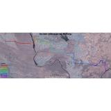
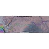
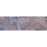
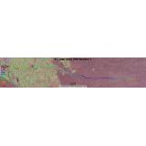
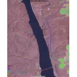
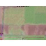
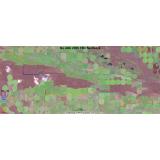
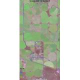
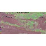
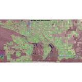
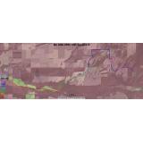
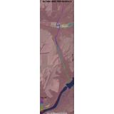
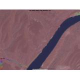
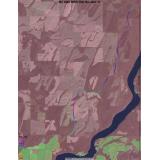
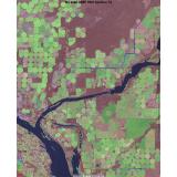
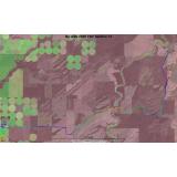
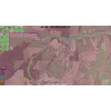
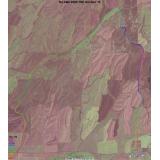
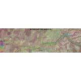
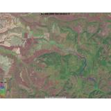
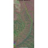
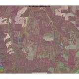
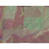
No Alibi 2005 Satellite Image MapsGPS data collected on checkout was used to plot the course on these aerial images. The overview maps show all sections, each section is indicated with a different line color. The section maps each show one section and the line color indicates the elevation. Scales vary.
Back to No Alibi 2005 | Next Page
Click the thumbnail to see the full image. |
|
View our
Privacy Policy. Web problems? Suggestions?
Mail the webmaster. |